- Itinerary
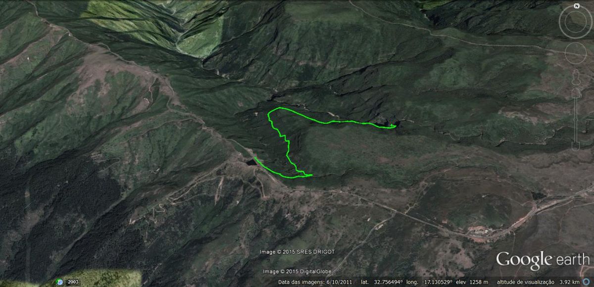
- Rabaçal - Lagoa do Vento
- Start
- Rabaçal (E.R. 105)
- End
- Rabaçal (E.R. 105)


With Funchal as a reference and keeping in mind that the regional road (ER. 105) between Encumeada and Rabaçal is temporarily closed, we recommend the following route:
The Lagoa do Vento trail is one of the alternative routes in the Rabaçal area, that isn’t usually a first option for first time visitors.
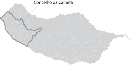
To get there, follow exactly the same route as if you were heading to Levada das 25 fontes (or Risco) from E.R. 105 (former E.R. 110). As previously mentioned you may catch the service bus provided by the Municipality of Calheta that transports you down a 2km paved road to the Rabaçal Forestry House (3€ one way, 5€ return).
If you do decide to take the bus down, you’ll have climb back up, around 300m to an unmarked trail that in this case is located on your left.
The route to Lagoa do Vento (lake of wind) is done in parallel to Levada do Risco, although in this case you do not follow a water channel.
We’d like to point out that the route to Lagoa do Vento, although done through striking scenery, is not included in the Direção Regional de Florestas recommended walks list. So for that reason, it should be done taking the utmost of care and should be within your physical capabilities (this walk is recommended to experienced walkers).
The trail itself, embedded in the ground by the feet of many visitors, is visible between the vegetation, however there is always the possibility of some areas being covered by leaves or small land slips.
Throughout the trail you’ll have to cross some small streams, ramifications of larger streams such as Ribeira Grande and Ribeira do Alecrim, travel with extra caution through these areas.
Vegetation wise, just like Risco and 25 Fontes, you’ll be enclosed by tree heathers and laurel forest.
Nearing the end you’ll come across a fork in the trail, the left goes down to the lake and the right up to Levada do Paul I or Alecrim.
The terrain leading up to the levada is extremely steep and physically demanding, so much so, we do not recommend it. If you would like to visit Levada do Alecrim, follow our recommendation here.
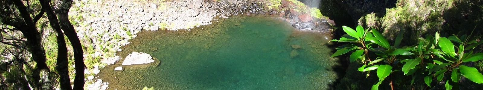
Following the left turn mentioned above, after a zigzagging trail that requires some physical capability, you’ll find yourself at the tranquil Lagoa do Vento.
The water that flows from this lake is the same water that forms the Risco waterfall. Be cautious when exploring this area, there is no protection what so ever and the ground can be slippery.
Stay a while before making your way back to regain your energy and make the most of the soothing quite that only Mother Nature can provide.
The way back is done via the same route, once you arrive at the paved road in Rabaçal, you can go down to the forestry house to catch the service bus from 10 a.m. to 6 p.m.
Because this walk possesses technical and physical particularities, to ensure your safety please make sure you meet the requirements. Consult the fact sheet and the safety chapter below.
In addition to the safety guide the Municipality of Calheta prepared specifically for you, which you may find here, please note these more specific recommendations:
- Make sure you meet the physical requirements necessary to safely complete this walk;
- Make sure you have appropriate footwear, keeping in mind that you will cross slippery areas that are muddy year round. The terrain is also quite irregular;
- Do not venture off onto unidentified trails not included on the GPS maps. In case you’re unsure of the trail due to nature occurrences such as land slips do not take any risks, go back the way you came.