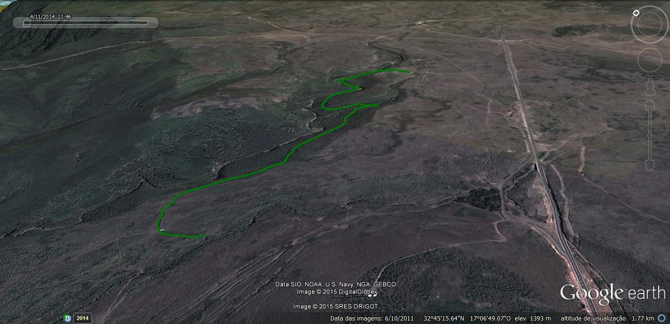
- Itinerary
- Lajeado - Campo Pequeno - Ribeira do Alecrim
- Start
- Lajeado (E.R. 209)
- End
- Lajeado (E.R. 209)


With Funchal as reference:
Levada do Lajeado is located within close proximity of the Rabaçal area, at around 1300 meters altitude in the plateau of Paul da Serra.
The walk starts close to the parking area.
You may visit the origin of the Levada by taking a small detour to the right, going against the flow.
After this detour, you are ready to start, this time going with the flow of the Levada. You’ll find many tributaries that interconnect many times with the steams and quite a few small waterfalls that always draw some attention.
During this walk, as is normal on walks at this altitude, the predominant plants are tree heathers growing in this vast landscape, visible in its entirety only when sunny. The stunning sky can be seen at your feet as small ponds reflect it, just one of the details that’ll make this walk effortless. The pureness of this levada and everything around it will take your mind off things, so much so you won’t even know you’ve arrived.
The terminus of the levada is represented by a damaged aqueduct what was once responsible for transporting water to Pico da Urze.
You should return the way you came enjoying, this delightful levada once again.
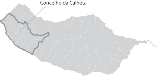
In addition to the safety guide the Municipality of Calheta prepared specifically for you, which you may find here, please note these more specific recommendations:
- Do not forget that this walk is located in a mountainous region above 1300 m altitude, therefore, it is subject to unpredictable weather conditions (fog is very common). Do not venture off the trail. When in doubt please feel free to use the GPS references available.