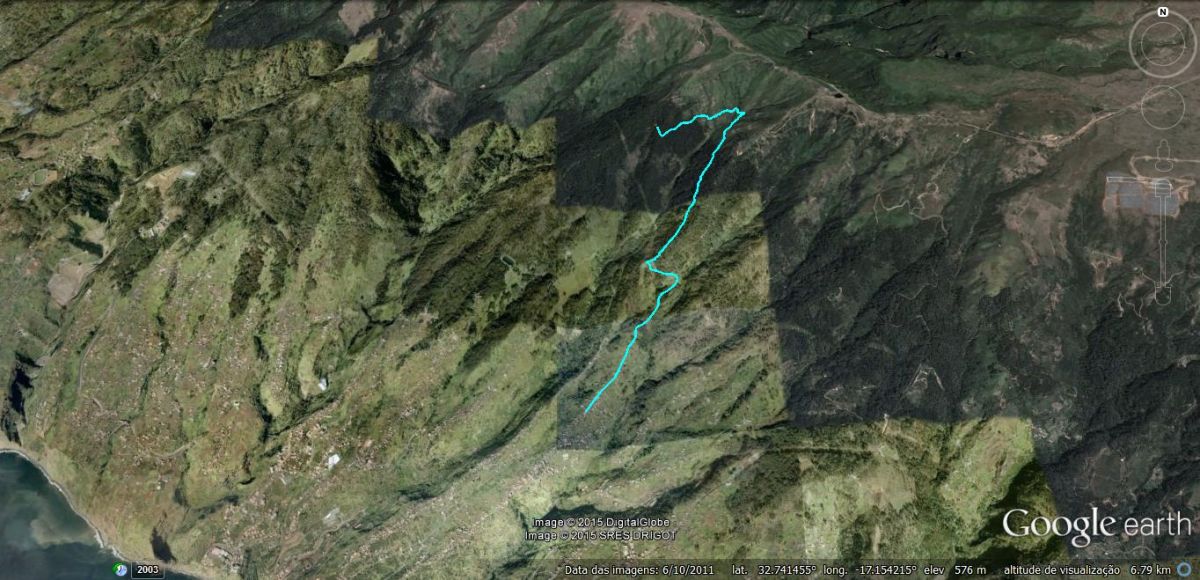
• Pipeline

  • 1

Pipeline

 
  • Itinerary
  • Zona de Lazer da Caldeira - Malhada - Lombo do Atouguia
  • Start
  • Estrada Dr. Roberto Monteiro
  • End
  • Caminho Lombo do Atouguia


Datasheet

  • Typology
  • ENDURO
  • Difficulty
  • EXPERIENCED
  • Terrain
  • SINGLE TRACK
  • Direction
  • ONE WAY
  • Distance
  • 4,3 KM
  • Time
  • 9 – 20min

3D Route

Source: Google Earth

How to get here

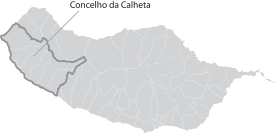
With Funchal as reference:

  • Take the Via Rápida (VR1) towards Ribeira Brava;
  • In Ribeira Brava, follow the Via Expresso (VE3) towards Ponta do Sol and Calheta;
  • Once you arrive in Calheta, at the roundabout, take the 3rd exit towards the Estrada Regional (E.R. 224);
  • At the crossing with Estrada Dr. Roberto Monteiro, follow until you reach Zona the picnick area of Caldeira;
  • The trail is located on the right.


Route Summary

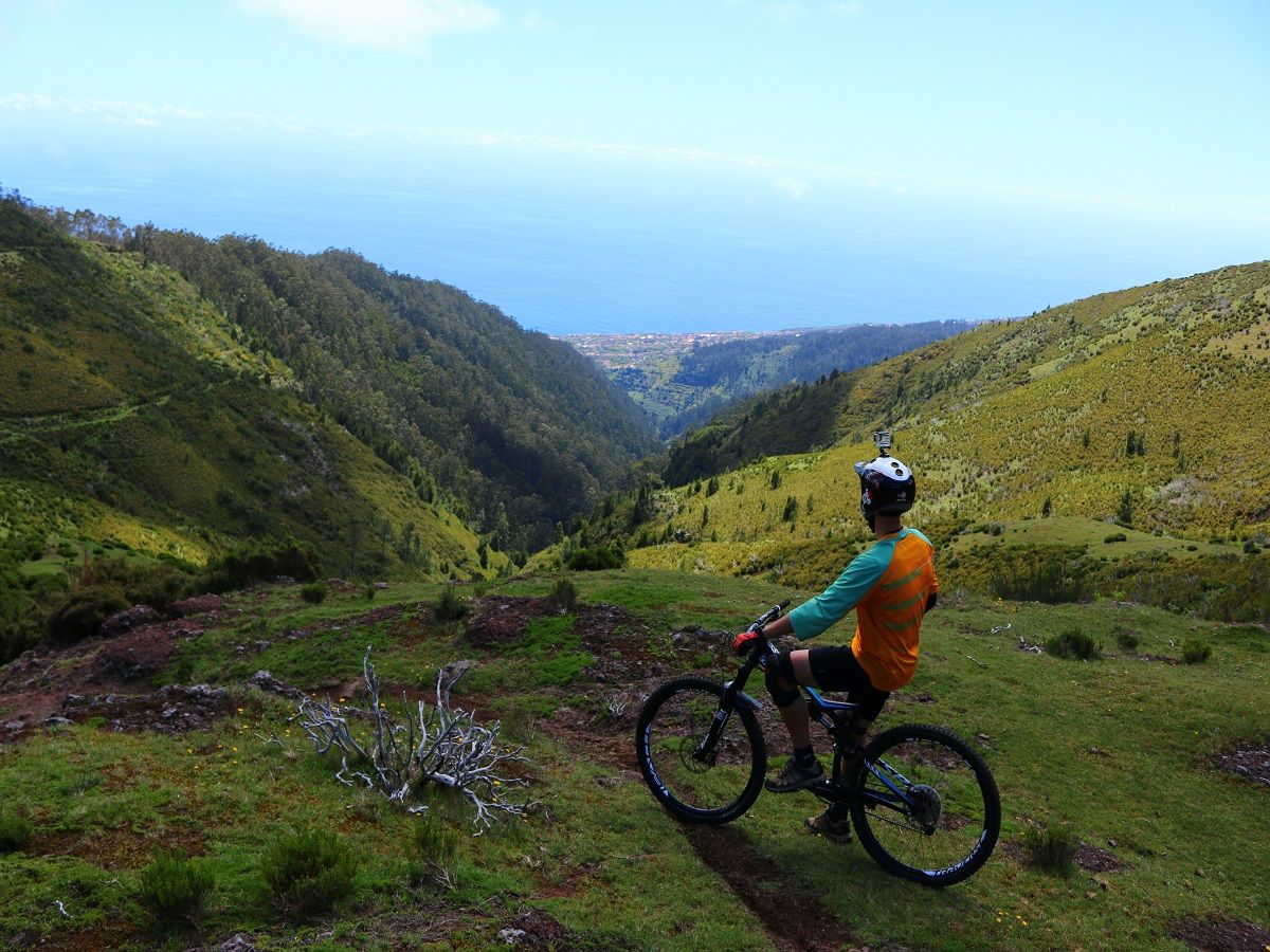
Starting at the picnic area of Caldeira, this track follows the first 800m of the Rabaçal walk (Levada das 25 fontes). Once you arrive at the tunnel, go right, it is advisable that you dismount and transport your bike by hand until you reach the trail visible on your right.

The track is fluid with a few pedalling areas and some wooden steps. Beware when passing the tube that transports water from the plateau to the hydroelectric power station of Calheta. On rainy days this spot is very dangerous.

The single track ends near the Levadeiros house, at the Levada da Rocha Vermelha, follow the dirt road ahead until Lombo do Atouguia.

Safety

Necessary / recommended equipment:

  • Full Face Helmet;
  • Gloves;
  • Knee pads;
  • Elbow pads;
  • Mobile Phone;
  • Thermal blanket;
  • Waterproof jacket;
  • Puncture repair kit;
  • Inner tube.

Map


Video

PIPELINE

Share This